By road, TSC is 10 miles from Maldon, 14 miles from Colchester and 20 miles from Chelmsford. Tollesbury is approached by the B1023 from Tolleshunt d’Arcy. The postcode is CM9 8SE.
By water, the co-ordinates are:
51o 45.50N
00o 51.23E
The club is approached from the River Blackwater via the tidal Tollesbury Fleet and Woodrolfe Creek, which also give access to Tollesbury Marina. Woodrolfe Creek dries completely at low tide and is accessible from about 2.5 hrs before high water. There is an indicator at the entrance to the creek showing depth over the sill at Tollesbury Marina.
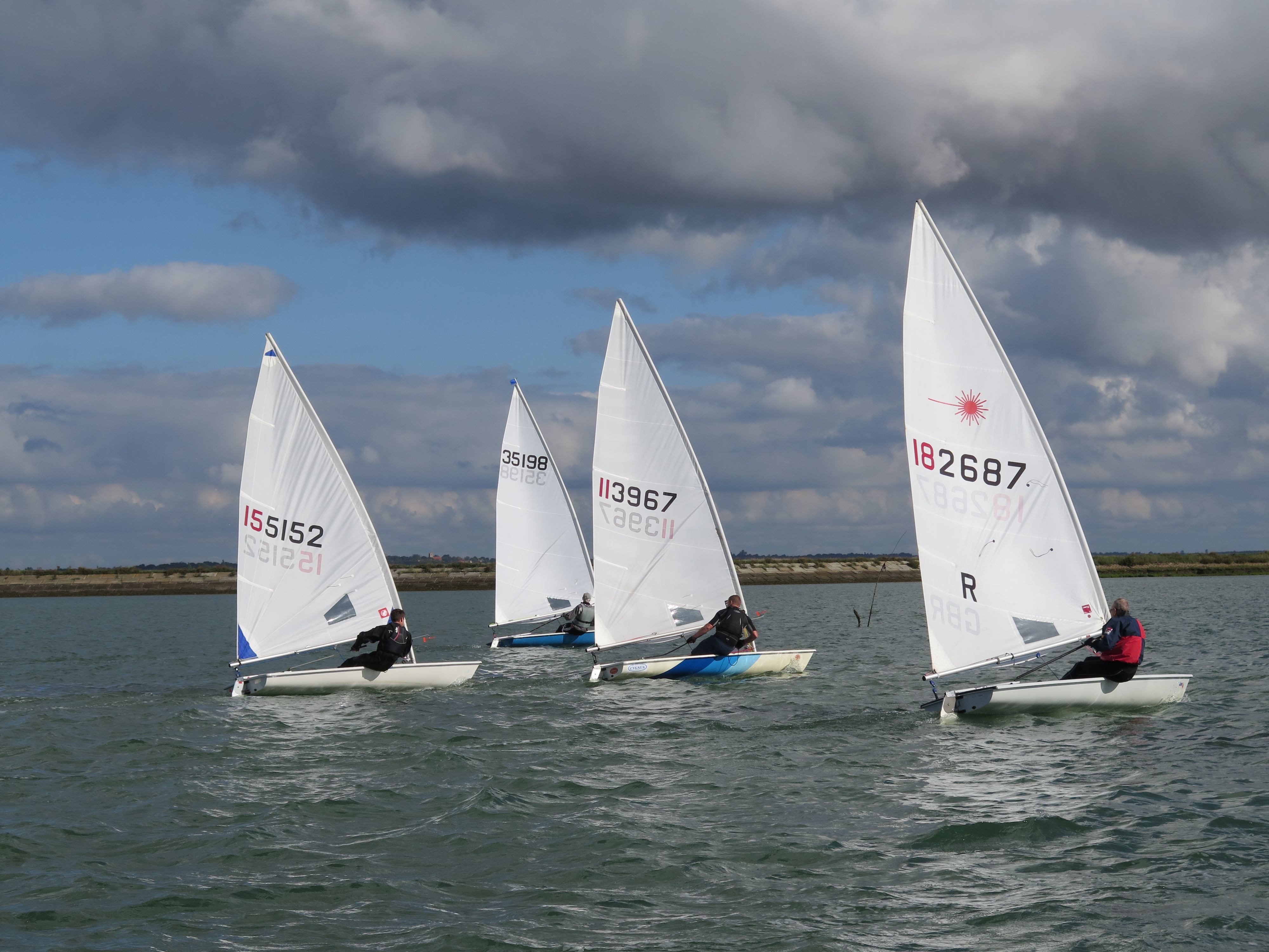
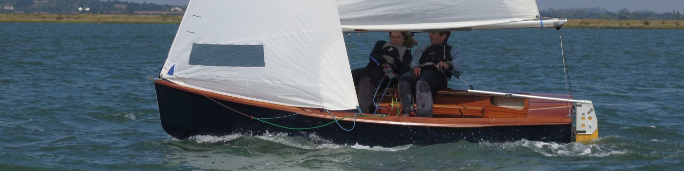
TSC is unusual in that the sailing area is not visible from the clubhouse, dinghies are launched from the hard at the head of the creek, approx 100 mts away. Jockey Wheels are recommended.